
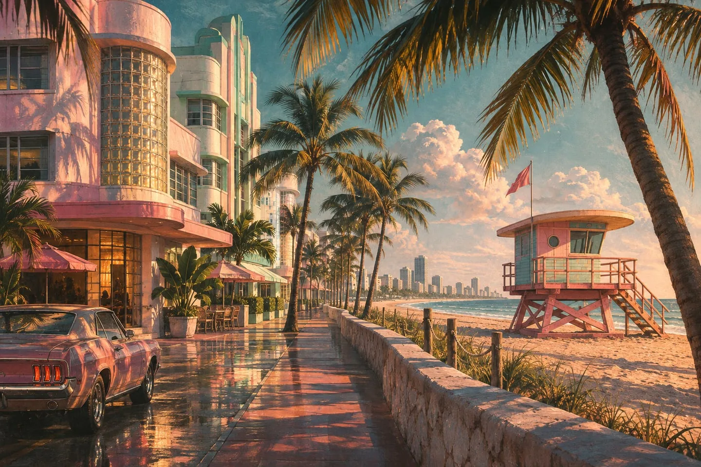
Where to see Miami in GTA VI’s Vice City
Treat real streets and architecture as references for the design, then look for in-game evidence of each location.
 GTA Lab2 min read
Compare the design language
A strip of low buildings facing a beachfront road, or a row of pastel hotels, may offer a useful architectural comparison. Start with the repeated pattern: setbacks, rooflines, street width and the relationship to the shore. Many places share one of those traits, and combinations are more informative.
Keep a real-world match in its own column
Write the Florida comparison separately from the fictional landmark and source frame. Even a compelling visual parallel tells you little about the exact turns you will make in Leonida. In a fictional city, familiar buildings can be rearranged to serve a different street layout.
Ocean Beach and the cruise port are different kinds of reference
Start with the shape of the buildings at the beach: low Art Deco façades, strong horizontal lines and windows arranged to emphasize corners. Then look at the terminal scale at the port. The coastline has to accommodate both a pedestrian hotel strip and large transportation infrastructure, and Rockstar uses those contrasting uses to give Vice City a recognizable character.
The developers researched more than a skyline
Rockstar’s Edge interview describes early research trips to Miami as part of selecting the setting. The team’s geographic interest extended beyond the city to the surrounding terrain and culture. You can see that in the contrast between Vice City and Grassrivers. Treat a real photo and an official game image as a pair of design references when you compare them.