
Life along the Keys
An island chain changes the way you read distance, roads and the edge of Leonida.
 GTA Lab1 min read
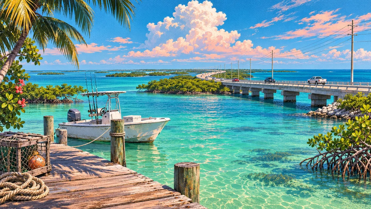
An island is a different kind of neighborhood
On the mainland you can often turn the next corner and head in a new direction. Islands funnel your eye toward the next crossing. That makes the Keys a natural place to learn a map by looking at the whole shape before picking a destination.
Look for a connected shoreline
Start at a recognizable patch of coast and trace the road outward. Notice where land gives way to water and where a bridge ties two stretches together. The regional map becomes much easier to remember once those crossings form a sequence.