
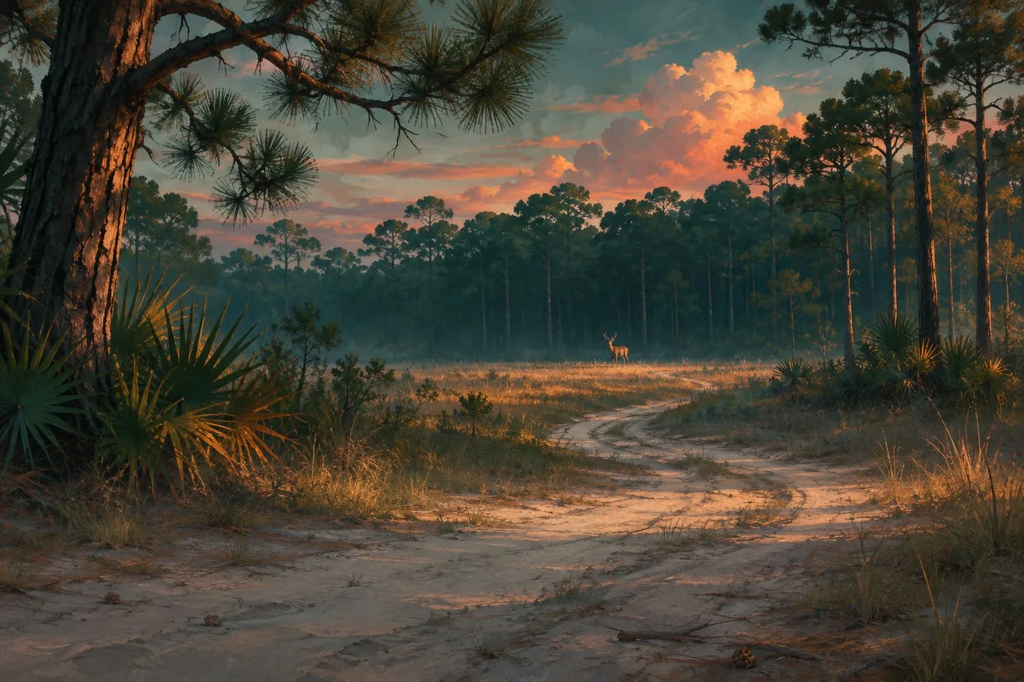
Mount Kalaga wildlife in GTA 6 — what the woodland reveals
Read Mount Kalaga’s trails, wooded slopes and official images before planning a wildlife outing in Leonida’s national park.
 GTA Lab3 min read
Why Mount Kalaga deserves its own wildlife trip
Mount Kalaga changes the visual rhythm of Leonida. Trees break up long views, slopes hide what lies beyond a path, and a clearing creates a window into otherwise dense terrain. Rockstar’s national-park setting offers a different kind of wildlife outing from the flat wetlands. The official images support that environmental contrast, while exact species routes need separate confirmation.
Start on a route with a clear return
The official screenshots present Mount Kalaga National Park through wooded terrain and higher viewpoints. Pick an approach you can recognize on the way back, such as a junction or crossing, and stop where you can see both the tree line and the open area. Rockstar’s wildlife preview confirms a varied animal population, rather than a dependable location for every animal.
Look at several layers of the scene
Start close to the trail, then look toward the canopy, water or the far edge of the clearing. A silhouette moving across a gap may be easier to identify than the same shape partly hidden in foliage. Give the scene time to settle after you arrive before changing location.
Write down the observation in a useful form
Keep the closest landmark and direction in your note, and add the animal name only if you can identify it confidently. If the game labels a sighting or records it, capture that feedback too. Leave precise directions for a repeat sighting. This keeps a friend’s first trip focused on a useful habitat rather than a pin based on a single frame.
Use the road for a second view
If a hillside was busy with traffic while you arrived, return on foot from an accessible stopping point. Look across the same opening without continually moving the camera. Keep the two observations separate if the time of day also changed.
Make the landscape do the organizing
A first route can follow three visible features, such as a trail entrance, an opening in the trees and a return junction. That creates a small area you can understand without crossing the whole park. It also makes a future animal-location report easier to follow, since the approach is described before the sighting. A caption naming the park is a regional reference. A dependable animal marker needs a reproducible location within it. Use the Mount Kalaga place profile for the former and treat unsourced spawn pins cautiously.